An Examination of Economic, Employment, Food Security, and Agricultural Ecosystem Service Aspects
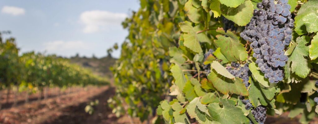
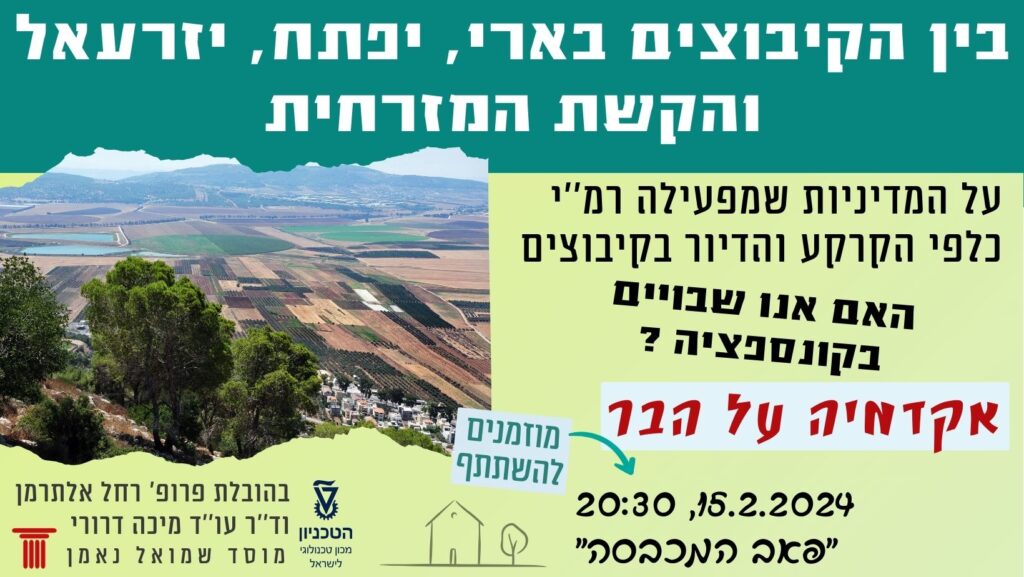
The Israeli authorities are currently advancing two concurrent plans for an additional airport to Ben Gurion Airport (BGU) at two locations: at the Negev’s Nevatim Air Base and at the Ramat David Air Base in the Jezreel Valley. The proposed airport area in the Jezreel Valley, and the surrounding region, is an agricultural zone that produces high-value agricultural products and food items, contributing significantly to Israel’s food security. These values are under threat from the planned airport.
The aim of this paper is to assess the potential impact of establishing an airport in the Jezreel Valley on regional agricultural production, the local economy and livelihoods dependent on agriculture, and the supply of food and food security for the broader Israeli public.
The area examined in this paper includes both the land designated for the airport, covering approximately 23,000 dunams (most of which is cultivated agricultural land), and the area defined as a “bird hazard zone,” spanning about 554,000 dunams, of which around 162,000 dunams are cultivated agricultural land. Together, these two areas are referred to in the current paper as the “proposed airport area.”
According to the findings, if the airport is constructed, it will result in the loss of approximately 21,000 dunams of agricultural land, dozens of livestock farms, and supporting infrastructure such as food centers and reservoirs. As for the “bird hazard zone,” due to the ongoing and uncertain nature of planning processes, it is difficult to predict the specific limitations that will be imposed on this area. Therefore, this paper examines various scenarios for restrictions in the “bird hazard zone” and their potential impacts on agriculture in the region, economic output, livelihoods derived from agriculture, ecosystem services, food production, and food security in Israel. Eight possible scenarios were developed.
As a result, the estimated total economic damage ranges between 127 million NIS per year and 1.32 billion NIS per year, or 1.6 billion NIS to 16.1 billion NIS in present value over 20 years. The number of individuals whose food security would be compromised by the airport’s construction ranges from 210,000 to 3.5 million, depending on the scenarios.
In addition to the economic risks, the agricultural landscape of the Jezreel Valley serves as a “green lung” and provides vital ecological services to society, including contributions to food security, water management through the treatment of wastewater with the use of recycled water, air quality regulation through the absorption of carbon dioxide and other pollutants, aesthetic enjoyment of landscapes and open spaces that attract local populations, and the role of Area C as an ecological corridor linking surrounding open spaces. The construction of the airport poses a threat to the critical contribution of Area C to social well-being, both within Area C itself and in the surrounding region.


